Severe storms that spawned tornadoes damaged homes and downed trees as they moved across the Southeast on Monday night.
Forecasters warned that the storms could threaten more than 29 million people, raising the risk of powerful tornadoes, damaging winds and hail the size of tennis balls.
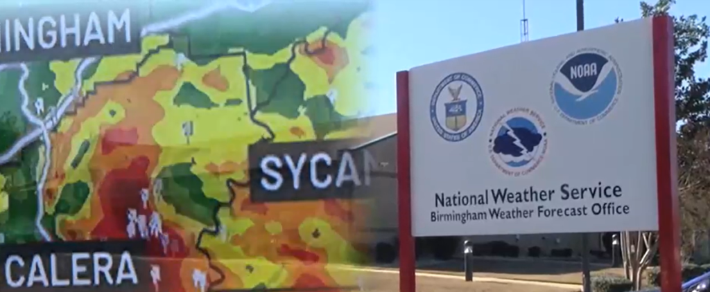
Cities in northern Alabama reported power outages, and the National Weather Service in Huntsville reported at least three confirmed tornadoes in the area.
In Limestone County, an Alabama county on the Tennessee border, the sheriff’s office posted photos online of houses with roofs ripped off and outbuildings torn from their foundations. Several roads were closed because of power lines or trees, the office tweeted. But it had no reports of injuries from the storms.
The athletic director at Jacksonville State University said late Monday there was significant damage to the campus.
“I can confirm we have major roof damage at Pete Mathews Coliseum, but The Pete is not completely destroyed,” Greg Seitz said in a tweet.
Seitz later tweeted that they were still surveying the campus but that there was major roof damage to two halls, adding that his was thankful that JSU was on spring break this week and that most students are out of town.
Portions of northern Alabama and southern Tennessee were still under tornado warnings Monday night, and the National Weather Service issued a tornado watch for much of northern Georgia as the line moved eastward.
Forecasters said the storm threat is unusually dangerous because of the possibility of several tornadoes, some of which could be intense. The weather service says hail as large as 3 inches (7.5 centimeters) in diameter could fall, and there’s a possibility of wind gusts to 70 mph (115 kph).
“The potential for strong to violent, long-track tornadoes is a real possibility,” Alabama state meteorologist Jim Stefkovic said at a news conference.
Alabama Emergency Management Executive Operations Officer Jeff Smitherman raised the threat level and increased staffing at Alabama’s emergency management agency. The storms are the first severe weather to threaten the state this year.
School systems from central Tennessee as far south as Birmingham, Alabama, let out early, hoping students and staff would have time to get home before the storms moved through.
The threatened storms come one day before the official start of spring, and are “by far the most impressive setup we’ve seen so far this year,” said Kurt Weber, a meteorologist at the National Weather Service in Huntsville, Alabama.
“We can’t rule out a strong tornado east of Interstate 65 at this point with all the ingredients coming together,” Weber added. “Hopefully not, but definitely a possibility.”
He said golf ball to tennis ball-sized hail, which can do serious damage to buildings and cars, was possible.
“This is one of those days you want to put the car in the garage if you can,” Weber said.
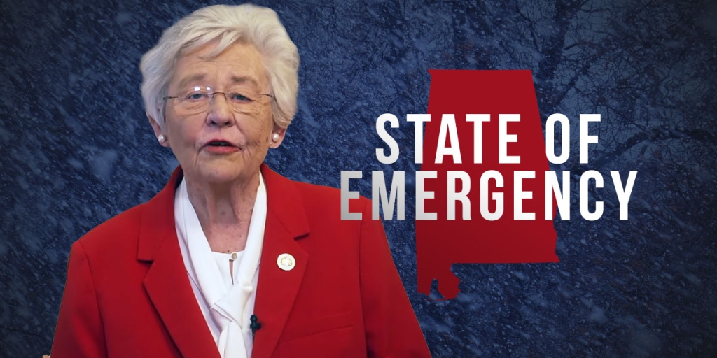
Alabama Gov. Kay Ivey urged Alabamians to implement safety plans and get in a safe location.
“We are not taking the situation lightly,” Ivey said. “Severe weather is unpredictable and that is why it is paramount we prepare ahead of time.”
The University of Alabama suspended operations Monday from 6:30 p.m. to midnight, meaning classes and campus activities were cancelled, libraries closed and shelters were opened on campus.
(Associated Press, copyright 2018)


