Time to dig out some short-sleeved shirts.
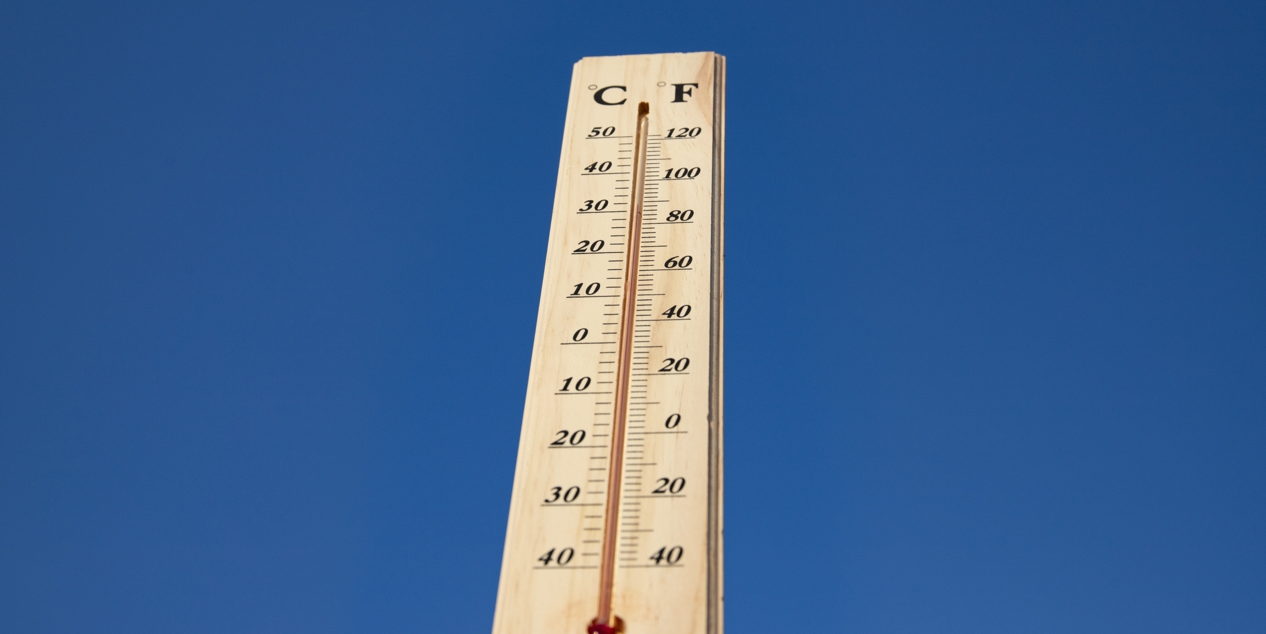
Alabama could see near-record February temperatures this week, with parts of the state expected to reach the 80s by Thursday, according to the National Weather Service.
National Weather Service forecasts show a steady warmup building across the state through midweek, pushing temperatures well above seasonal averages before rain chances increase and more typical February conditions return.
Today, temperatures are projected to climb into the 70s and some south Alabama locations nearing 80 degrees.
Thursday is expected to be the warmest day of the stretch. National Weather Service forecast guidance indicates upper 70s are possible across north and north-central Alabama, with 80-degree highs likely across parts of south Alabama — potentially marking the first 80-degree readings of the year in several communities.
National Weather Service forecast discussions note that some locations could approach daily record highs for mid-February, with existing records in many Alabama cities in the upper 70s to low 80s. Birmingham’s warmest February day on record to date is 83 degrees — a mark reached several times, most recently in 2018, with earlier occurrences dating back to 1928.
Rain chances are expected to increase beginning Wednesday and become more widespread from Thursday into the weekend. While severe weather is not currently indicated in forecast guidance, forecasters say trends will continue to be monitored.
Looking ahead, there will be a return to more typical February temperatures next week, with daytime highs falling back into the 50s and 60s and overnight lows in the 30s and 40s.