Working with a national laboratory, researchers at the University of Alabama are investigating how the role of the patchwork of small drainage spots across the Southeast is changing as flooding becomes more frequent.
The data collected by the research team from small, inland wetlands will enhance ecosystem and climate models the federal government provides to the scientific community as well as organizations involved in water and land management. The work is supported by a $1 million grant from the U.S. Department of Energy.
“In Alabama, we have a lot of valuable natural resources that benefit from wetlands,” said Corianne Tatariw, a postdoctoral researcher in biological sciences leading the project. “Like the rest of the southeastern United States, we are also experiencing more intense rainfall and flooding events due to climate change, so understanding how these systems respond to that is really important for resource management.”
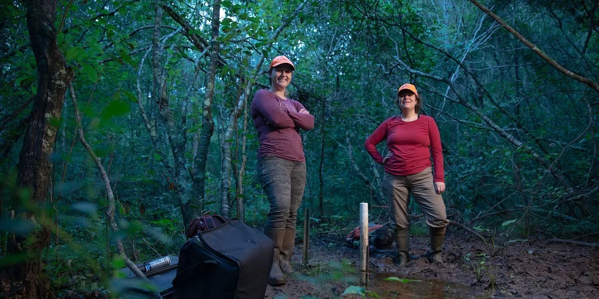
Tatariw and the research team were selected in part because of UA’s unique field station, Tanglewood Biological Station, which is 567 acres of preserved natural environment used for education and research.
“It’s such an ideal location because it’s representative of the forested lands across the region,” said Behzad Mortazavi, principal investigator of the grant and professor and chair of the UA Department of Biological Sciences. “The opportunity to work in a protected field station that the university owns makes our work so much easier.”

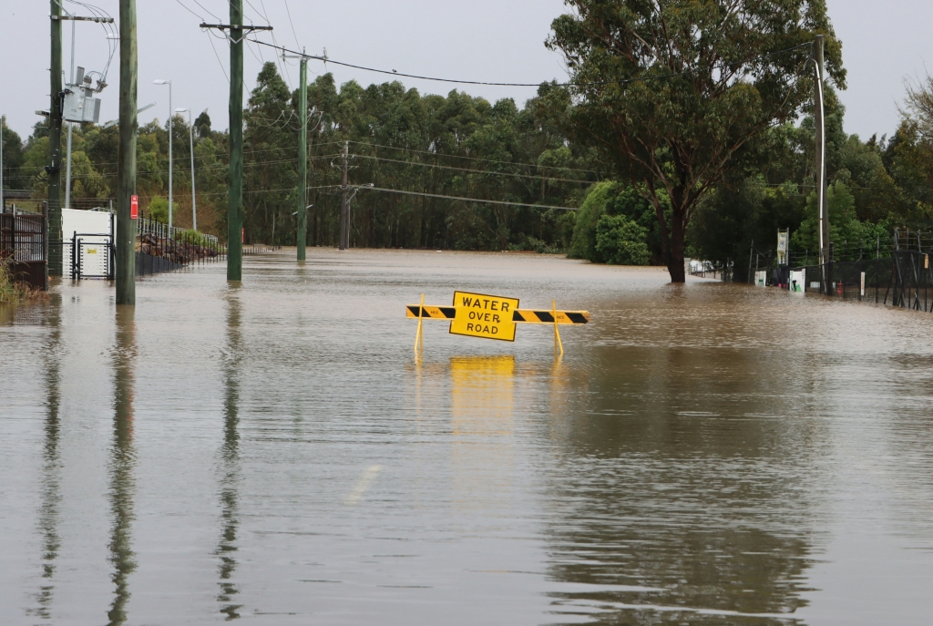
These wetlands that range in size from a couple of acres to smaller than a football field play a critical role in absorbing pollutants before the waters drain into the groundwater and on toward waterways. These areas can flood or dry out depending on precipitation, which, combined with their small size, makes the areas hard to understand and model.
They process nutrients such as nitrogen through microbes in the soil that break down organic matter, filtering the slow-draining water through the wetland that eventually improves the quality of water in streams and rivers.
However, flooding can wash away too much nitrogen and other nutrients from agriculture or more developed land. That can overwhelm the inland wetland’s ability to cycle nutrients, meaning excess nutrients then become pollutants.
“Our flooding regime structures the ecosystem,” said Nate Jones, assistant professor of biological sciences and part of the research project. “Timing and frequency of floods are part of processing the chemicals in the wetlands and what materials are washed downstream.”
Researchers will use data collected in the field to better understand how these small patches of wetland connect through groundwater and to broader waterways. This data will improve current models that struggle to predict the impact of land development and climate change.
“They are a weird feature,” Mortazavi said. “The landscape is littered with these potholes, in essence, that are constantly changing in shape, so we need a better picture of them to fill in where data is lacking.”
With this understanding, researchers hope to understand how floods affect the nitrogen and other organic matter delivered to the wetlands.
To build the model, they will work with the Pacific Northwest National Laboratory in Washington state. With the field data used in the model, the team can test how different flood scenarios affect wetlands’ ability to remove nitrogen at larger scales.
“This work will be informative not just for Alabama, but for other areas subjected to increased flooding due to climate change,” Tatariw said.
(Courtsey of the University of Alabama)