On March 24, nearly 40 miles away from the EF-4 tornado that devastated the town of Rolling Fork, Mississippi, a research team from The University of Alabama in Huntsville (UAH) Department of Atmospheric and Earth Science and Earth System Science Center (ESSC) set up a tornado field campaign site outside Greenville, Mississippi, capturing weather data before and during the line of storms that brought destruction across the Mississippi Delta.
Now back at UAH, a part of the University of Alabama System, the research team hopes the data will reveal when and where the Rolling Fork EF-4 tornado began to develop and why it was so devastating.
“It’s heartbreaking to think about the devastation in Rolling Fork. A few of us stopped in Rolling Fork for lunch two years ago while site-surveying for tornado field campaigns. The folks were incredibly nice to us all and just downright good people,” says Joshua Huggins, Atmospheric Science graduate student.
“This is why we, UAH, participate in tornado field campaigns so we can understand what types of weather conditions spark tornadic activity in squall lines across ‘Dixie Alley’ in the spring,” Huggins says. “We hope our research will lead to more warning time for violent tornadoes and save lives.”
Using UAH’s Mobile Atmospheric Profiling Network (MAPNet) fleet of research vehicles, based in its Severe Weather Institute and Radar & Lightning Laboratories (SWIRLL), the team set up a 30-mile radius around Greenville at 11 a.m. that Friday morning. At the top of every hour, they collected wind speeds, temperature, humidity, and radar scans.
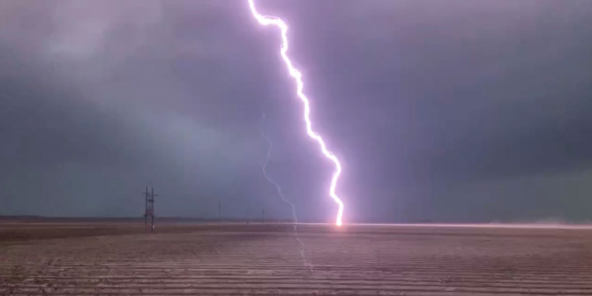
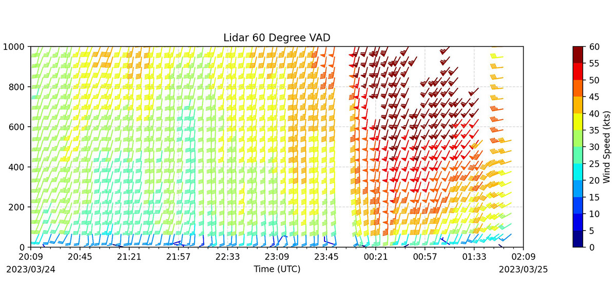
“Between 4-5 p.m., our weather balloons and wind-profiling instrumentation picked up wind speeds increasing and turning rapidly with height, creating that spin in the atmosphere needed for tornadoes,” says UAH ESSC Research Associate Preston Pangle. “Also, the data showed instability ramping up. The atmosphere was priming itself for severe weather activity.”
Within an hour, at 6 p.m., several tornado warnings were issued across the Mississippi Delta, including over part of the UAH research team’s site.
“It was a heart-racing experience,” says Zeb Leffler, Atmospheric and Earth Science undergraduate senior, who was one of the research team members in the tornado warning with UAH’s MAPNet Mobile Alabama X-Band Radar (MAX) vehicle.
“We kept seeing the cloud ceiling lower as the storm progressed closer to us,” he says. “Cloud-to-ground lightning increased, and a hail core was spotted using MAX’s radar, which usually indicates a storm’s intensity is increasing.”
No tornado was confirmed at the set-up location, but Leffler says the data MAX collected was valuable in identifying storm intensification due to the environment having high instability and spin in the atmosphere.
“Just five miles north-northeast of where we were located, the tornado-warned storm did produce golf ball sized hail,” he says.
Leffler’s radar data, along with the rest of the data collected by the UAH research team, will be an important addition to the data archive. It will be compared against data collected at other tornado field campaigns to determine what atmospheric conditions initiate or hinder tornadic activity.
“This non-tornadic supercell had so much significant data collected on it, it could be the most studied event so far since beginning our tornado field campaigns,” says Dr. Kevin Knupp, director of UAH SWIRLL and Atmospheric and Earth Science professor.
UAH is one of 12 research institutions chosen to participate in the Propagation, Evolution, and Rotation in Linear Storms (PERiLS), the largest Dixie Alley tornado field campaign to date. Funded by the National Science Foundation and National Oceanic and Atmospheric Administration, PERiLS is a three-year project with its second year occurring this spring.
(Courtesy of UAH)