RADAR CHECK: Large areas of light to moderate rain are moving across parts of north Alabama early this morning, and as an upper trough persists over the region we expect a number of showers and thunderstorms across the state today with a mostly cloudy sky. The Storm Prediction Center has defined a marginal risk (level 1 out of 5) of severe thunderstorms for about the southern half of the state, where the air will be more unstable. Heavier storms this afternoon could produce strong winds and some hail, especially over central and south Alabama.
The high today will be in the low to mid 80s due to clouds and showers; the average high for Birmingham on Aug. 21 is 91.
For the weekend, the sky will be occasionally cloudy Saturday and Sunday with scattered to numerous showers and thunderstorms both days. Most of the rain will come from noon to midnight, but in this environment we can’t rule out some late-night or morning rain as well. Highs will remain in the 80s.
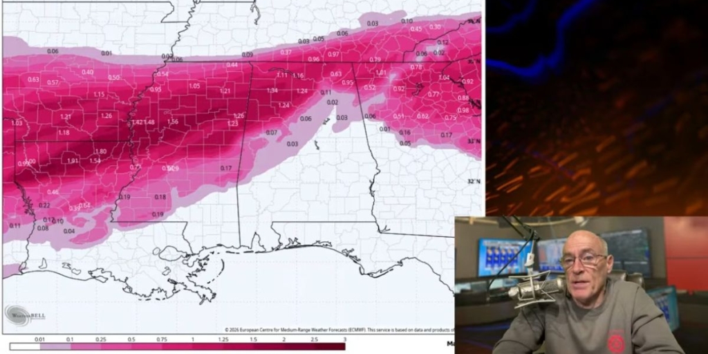
James Spann has the Alabama forecast heading into the weekend from Alabama NewsCenter on Vimeo.
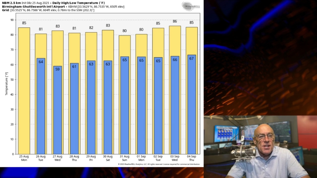
NEXT WEEK: There is great uncertainty due to the tropical weather situation, but we will forecast enhanced rain chances for the state Wednesday and Thursday with deep tropical moisture moving up from the south. The amount of rain is still up for debate; it all depends on the behavior of the two tropical systems in the Gulf. Highs through the week will be mostly in the mid to upper 80s.
TROPICS: In addition to the two tropical systems, we have a tropical wave in the far eastern Atlantic that we will be watching. It is producing a large area of disorganized showers and thunderstorms and is expected to move farther offshore over the far eastern tropical Atlantic today. It could become a tropical depression within the next few days while it moves west-northwestward at 15 to 20 mph across the eastern tropical Atlantic. But environmental conditions are expected to become less favorable for development early next week. This is far from the U.S. for now.
TD 14: Tropical Depression 14 is expected to become Tropical Storm Laura this morning. It is near the coast of Central America and will move over the tip of the Yucatan Peninsula over the weekend. From there, it moves into the western Gulf of Mexico. Global models are indicating increasing south-southwesterly shear as the cyclone enters the northwest portion of the Gulf, which could prevent it from reaching hurricane strength prior to landfall. For now, the forecast will reflect a low-end hurricane making landfall near Port Arthur, Texas, late Tuesday night. But it is really too soon to know exactly how strong it will get or the location and magnitude of impacts it will produce along the central or northwestern Gulf Coast.
There is increasing confidence this could bring heavy rain to much of Louisiana Wednesday. It will also help to pull deeper moisture into Mississippi and Alabama.
TD 15: Tropical Depression 15 remains disorganized about 300 miles east of the Leeward Islands. It is forecast to become a tropical storm (it should get the name Marco) on Saturday, then will move just north of Puerto Rico and Hispaniola. The latest National Hurricane Center forecast track brings it to a point near Pensacola as a Category 1 hurricane Tuesday night.
It is very important to note that the details of the long-range track and intensity forecasts are more uncertain than usual since the system could move over portions of the Greater Antilles this weekend. And there is huge model spread. The main global models, the Global Forecast System and the ECMWF (Euro), show the system degenerating to an open wave. However, the Hurricane Weather Research and Forecast model shows it to be a major hurricane at the time of landfall. It is too early to know the location of landfall and the intensity at the time of landfall.
It is safe to say there is increasing potential for some impact to the central Gulf Coast (Gulf Shores over to Panama City Beach) Tuesday night and Wednesday. Those along the Gulf Coast need to review their hurricane preparedness plan now and be ready for whatever heads their way.
FUJIWHARA EFFECT: There is a chance that these two tropical systems could have an interaction known as the Fujiwhara effect, a phenomenon that occurs when two nearby cyclonic vortices orbit each other and close the distance between the circulations of their corresponding low-pressure areas. They won’t merge, but the tracks of one or both systems could be affected by this. It depends on the size and intensity; we just don’t know that right now.
ON THIS DATE IN 1883: An estimated F5 tornado caused extensive damage to Rochester, Minnesota. The enormous roar was said to have warned most Rochester residents as the massive funnel cut through the north side of town. More than 135 homes were destroyed and another 200 damaged. Many of the 200-plus injuries were severe, and other deaths probably occurred but were not listed as part of the 37 mentioned. This damaging tornado eventually led to the formation of the Mayo Clinic.
BEACH FORECAST: Click here to see the AlabamaWx Beach Forecast Center page.
WEATHER BRAINS: You can listen to our weekly 90-minute show anytime on your favorite podcast app. This is the show all about weather featuring many familiar voices, including the meteorologists at ABC 33/40.
CONNECT: You can find me on the major social networks:
Facebook
Twitter
Instagram
Pinterest
Snapchat: spannwx
For more weather news and information from James Spann and his team, visit AlabamaWx.
(Courtesy of Alabama NewsCenter)


