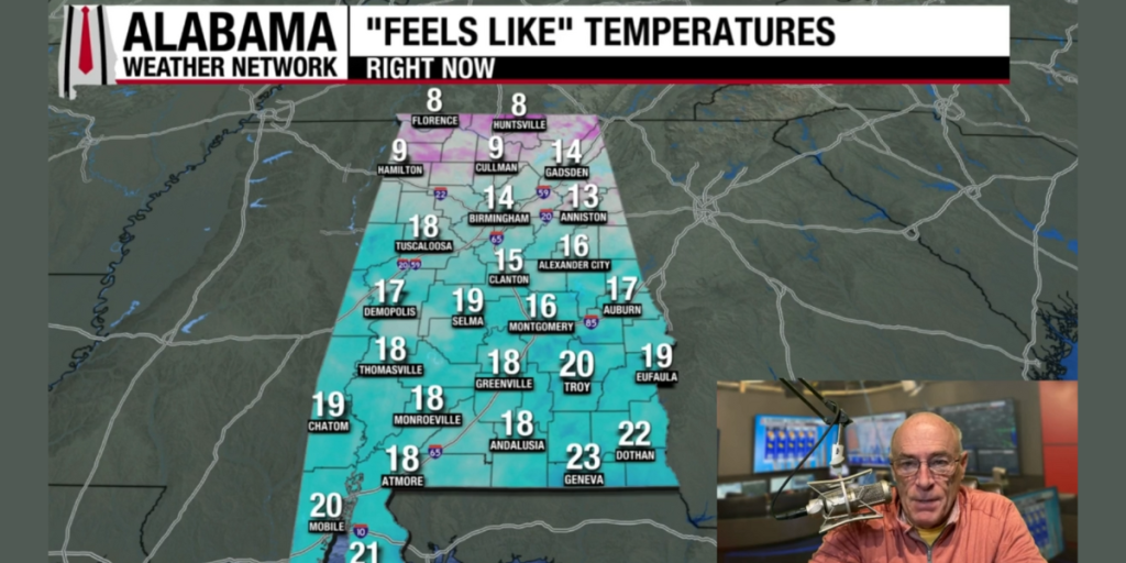
DRY THROUGH TOMORROW: We have a freeze all the way to the Gulf Coast this morning with clear sky. The sky will be sunny today with highs in the 40s across North Alabama, the southern counties will reach the 50s. Not much change tomorrow … but some of the colder spots across North Alabama could reach the upper teens early tomorrow morning.
Clouds will increase Wednesday, and some light rain could creep into the northwest part of the state by afternoon. Then, on Thursday and Friday, the sky will be mostly cloudy both days with a chance of showers. Highs will be in the 50s over the latter half of the week.
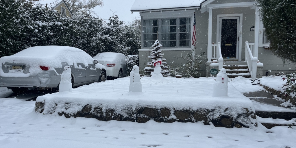
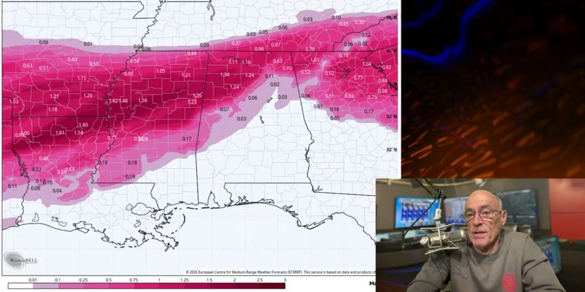
WEEKEND WINTER MISCHIEF? Global models agree on a potentially high impact winter storm threat for parts of the Deep South Saturday. Shallow, cold air drops in from the north, a broad low forms to the south in the Gulf. This scenario often leads to freezing rain (precipitation in liquid form that falls when temperatures are at or below 32 degrees). And, a long period of freezing rain leads to an ice storm. Some notes…
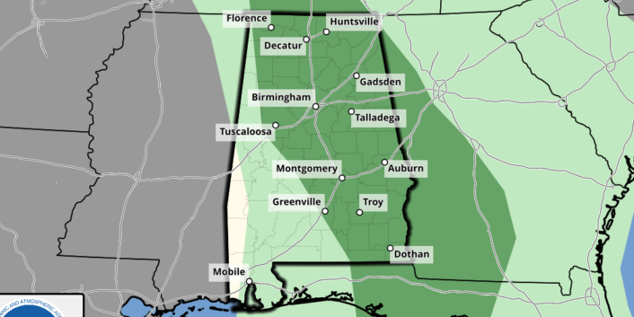
*Highest chance of impactful winter weather Saturday will be over the northern half of Alabama.
*Main window for “wintry precipitation” over North Alabama will come from midnight Friday night through midnight Saturday night.
*Some snow could be involved over the Tennessee Valley, where cold air will be deeper.
*Global models are in good agreement, leading to fairly high confidence, but understand we are still five days away and all of this could change. It could simply be a cold rain.
*It is way too early to forecast specific impact from this (road conditions, etc). We will be able to do that on Thursday. But just be aware that a disruptive winter storm is very possible over the northern half of Alabama Saturday.

Sunday will be dry and cold with highs in the 30s and 40s.
NEXT WEEK: We note global models are suggesting some very cold air will be in here by the middle of next week, with lows in the teens over the northern half of the state. See the video briefing for maps, graphics, and more details.

ON THIS DATE IN 1988: An F3 tornado tore through Cullman, injuring 35 people. A distribution center had 75 trailer rigs severely damaged. Extensive damage occurred to a shopping center in Cullman. 13 homes, 15 mobile homes and six businesses were destroyed. Hundreds of structures were damaged.
ON THIS DATE IN 2008: A winter storm brought up to 4 inches of snow across Central Alabama. Heavier amounts were over Marengo, Dallas, Perry and Chilton counties.
For more weather news and information from James Spann and his team, visit the Alabama Weather Network.