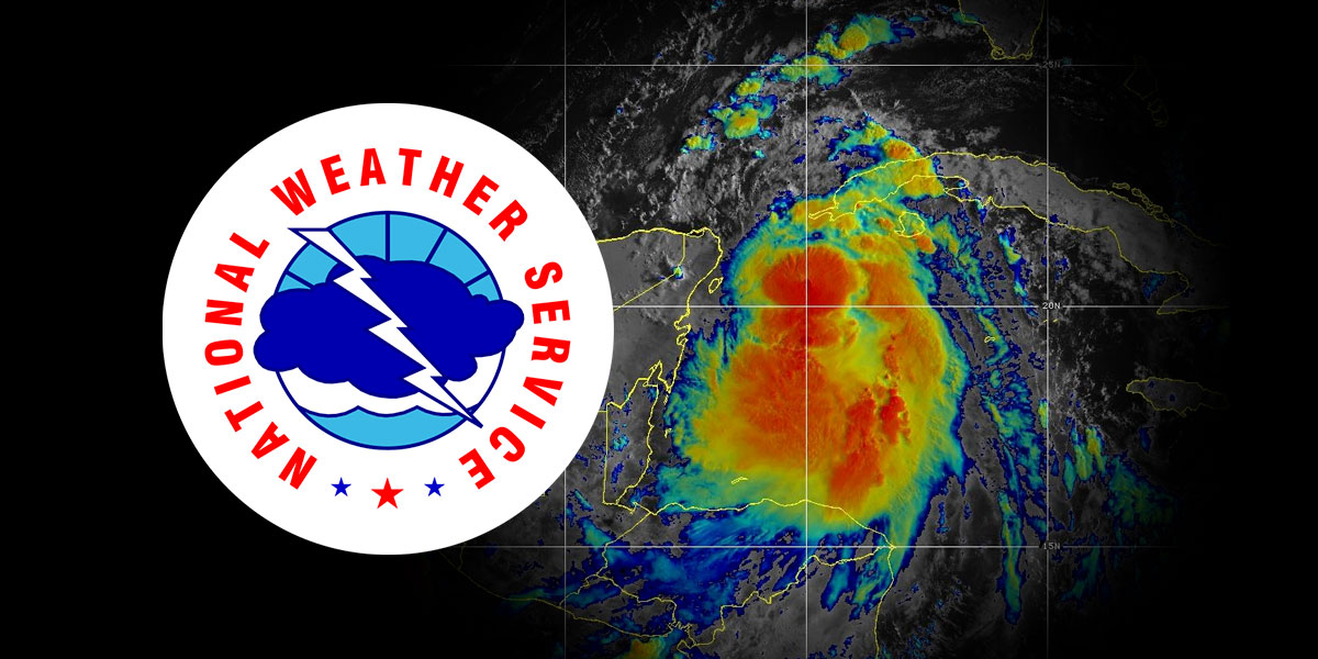
Tropical Storm Idalia is continuing to grow in intensity and may reportedly grow into a major hurricane before making landfall according to the Mobile/Pensacola National Weather Service (NWS).
As of 2 p.m. Monday, Idalia was around 50 miles south-southwest of the western tip of Cuba. The storm had maximum sustained winds of 70 mph and was moving north at 8 mph. The growing consensus is that it will first make landfall in the Big Bend Region of Florida.
Beginning late Tuesday and extending into Thursday, there is a high risk of rip currents and high surf. the weather service said.
Alabama will more than likely avoid the most severe weather from the system, instead only receiving heavy bands of rain and gusty winds throughout the majority of the southeast portion of the state. Central Alabama may experience just a few bands of rain, also.
Senator Katie Britt asked Alabamians to monitor the weather.
While Tropical Storm Idalia is currently projected to have very minimal impacts in our state, I want to encourage Alabamians to keep a close eye on the forecasts and review their severe weather plan to keep their home, family, and business safe. https://t.co/V90I4g8crn
— Senator Katie Boyd Britt (@SenKatieBritt) August 27, 2023
The areas of the country that are expected to be most impacted include the majority of Florida, parts of southern Georgia, and also along the Carolina coast.
By the upcoming weekend, Idalia is expected to move back over water and no longer make landfall.
The NWS is asking that citizens review their hurricane plans and also make sure that they have a hurricane readiness kit at hand.
Austen Shipley is a staff writer for Yellowhammer News.


